
Yolo ZIP Codes at a Glance
The Yolo ZIP code directory starts with the county address-point layer, which records postal code, postal community, incorporated municipality, and USPS verification status. The table below reports the twenty ZIP values present in the official Yolo address data. “Postal community” is used in the post-office column because the research did not independently verify a physical facility for every code. Do not read the list as a claim that each ZIP lies wholly inside Yolo County.
| ZIP code | Areas or postal communities | Postal community / office note | Yolo boundary note |
|---|---|---|---|
| 95605 | West Sacramento | West Sacramento | Incorporated area |
| 95606 | Brooks | Brooks | Unincorporated |
| 95607 | Brooks, Capay, Esparto | Shared postal communities | Unincorporated |
| 95612 | Clarksburg | Clarksburg | Unincorporated |
| 95615 | Courtland | Courtland | Postal name across the river |
| 95616 | Davis | Davis | Incorporated and unincorporated |
| 95618 | Davis, El Macero | Davis / El Macero | Municipal combinations vary |
| 95620 | Dixon | Dixon | Yolo land with Solano-associated postal city |
| 95627 | Capay, Esparto, Zamora | Esparto; local PO noted | Unincorporated |
| 95637 | Guinda | Guinda | Unincorporated |
| 95645 | Knights Landing | Knights Landing | Unincorporated |
| 95653 | Esparto, Madison | Esparto / Madison | Unincorporated |
| 95679 | Rumsey | Rumsey | Unincorporated |
| 95691 | West Sacramento | West Sacramento | Incorporated and unincorporated |
| 95694 | Winters | Winters | Incorporated and unincorporated |
| 95695 | Woodland, Yolo, Zamora | Woodland / Yolo / Zamora | Source data has anomalies |
| 95697 | Yolo | Yolo | Unincorporated |
| 95698 | Zamora | Zamora | Unincorporated |
| 95776 | Woodland | Woodland | Incorporated and unincorporated |
| 95937 | Dunnigan | Dunnigan | Unincorporated |
Yolo’s strongest postal quirk is the mismatch between a ZIP label and the office that governs the parcel. A city ZIP can extend into county land, and a postal name can point beyond the county line. The address layer records that difference so a searcher can route the next request to the correct jurisdiction.
The Yolo Clerk-Recorder services page is a useful reminder that the county office, not the postal label, holds the local record routes.
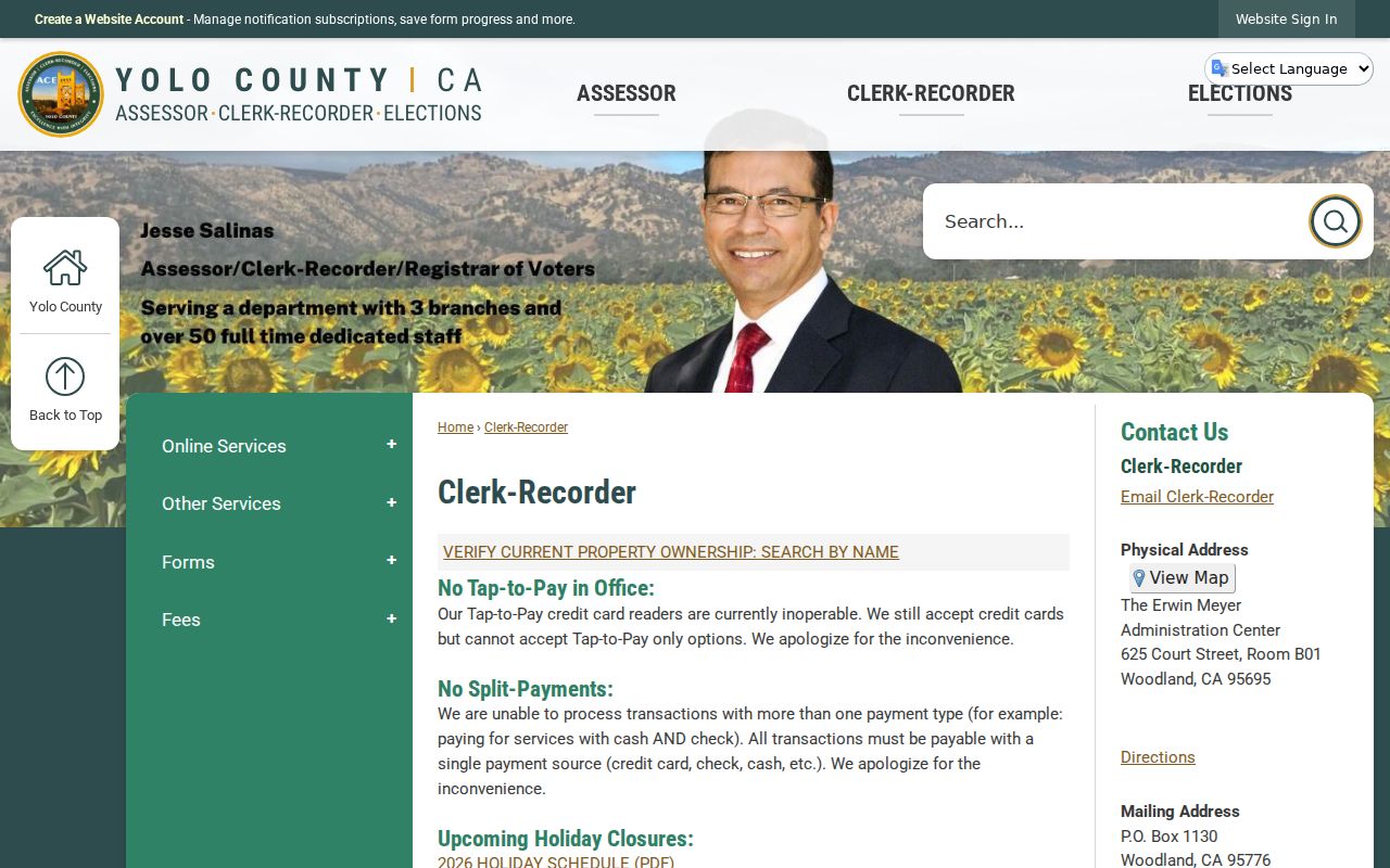
Keep the office and jurisdiction beside the ZIP when a postal address leads to a county record request.
Search Yolo Residents ZIP by ZIP
A ZIP-by-ZIP search should end with a documented address set, not a guess at how many people live in a code. The county address points can be filtered by Post_Code and reviewed with Post_Comm, Inc_Muni, jurisdiction, and USPS_Zip_Verify. The parcel layer can add land unit and agency fields. The public tax site accepts an actual street address, APN, or assessment account, but the research did not verify a consumer-facing ZIP-wide browse mode.
- Confirm the mailing address and ZIP through USPS or the county address-point record. Note whether USPS_Zip_Verify says verified, not reviewed, or not found.
- Filter or inspect Yolo address and parcel data by Post_Code, then keep Post_Comm, Inc_Muni, and jurisdiction beside the result.
- Choose the proper record keeper from the incorporated municipality, not from the postal city alone.
- Use the tax portal for a specific street or APN. It does not supply a verified public ZIP-wide resident browse.
- For qualified voter-file work, state the permitted purpose, geography, identity, fee, and data request instead of treating a ZIP as an open roster.
Once a ZIP narrows to a street, continue with the Yolo street directory workflow. It carries the APN, parcel, deed, permit, and address distinctions that a ZIP alone cannot provide.
Twenty ZIP Values in Yolo Address Data
The twenty-code table is a data inventory, not a population table. Address points are locations, parcels are land units, and neither one equals a household or a person. A postal-code guide can organize those locations, but it cannot turn the address layer into a resident list. Keep the dataset date, query fields, and result count with any ZIP-scale note.
The municipality domain is especially useful. It contains Davis, Winters, West Sacramento, Woodland, and Unincorporated. That short list exposes why postal labels need a second jurisdiction field. A 95618 address can use Davis or El Macero in the postal data, while the actual municipal or county authority may differ. The same check applies to 95691, 95694, 95695, and 95776.
Yolo ZIP Geography: Dixon and Courtland on County Land
ZIP 95620 includes Dixon postal names on Yolo land, with a Solano-associated postal city. ZIP 95615 includes Courtland addresses whose postal community sits across the Sacramento River. Those are not minor naming quirks. They can send a permit, tax, or civic request to the wrong office if a searcher treats the postal city as the governing place.
Use the county GIS address and parcel layers to retain the physical situs, postal community, incorporated municipality, agency ID, and jurisdiction as separate values. When a result feels out of place, do not rewrite the address. Verify the point, then follow the jurisdiction field to the custodian. That is the practical value of a Yolo postal map.
Yolo ZIPs: Davis Reaches Beyond City Limits
ZIP 95616 and ZIP 95618 include Davis and, in the address data, unincorporated combinations. El Macero appears with Davis postal material. A Davis postal label therefore does not settle whether a permit, code, or civic record belongs to the city or to Yolo County. The parcel’s Inc_Muni and jurisdiction fields need to travel with the ZIP.
That distinction matters when moving from the postal map to a name or address lookup. The tax account, GIS polygon, and permit authority can be connected by the physical location, while postal routing remains a separate field. A good result preserves both.
Yolo ZIP Edges: Woodland and West Sacramento
ZIP 95691 serves West Sacramento addresses in both incorporated and unincorporated settings. ZIP 95695 includes Woodland, Yolo, and Zamora postal communities, and ZIP 95776 serves Woodland with incorporated and unincorporated combinations. The source data marks anomalies, so a ZIP value alone should not be used to choose a city record system.
For a precise request, name the street or APN, the date span, and the record type. West Sacramento’s Citizen Access modules cover permits, licenses, and code cases, while Woodland has its own permit inquiry. County records apply to unincorporated parcels. The ZIP is a routing clue, not the final authority.
Yolo ZIPs in Capay Valley Postal Communities
ZIP 95607 includes Brooks, Capay, and Esparto. ZIP 95627 includes Capay, Esparto, and Zamora, with the Esparto post office listed at 16884 Yolo Avenue. ZIP 95653 includes Esparto and Madison, and other valley codes identify Guinda, Rumsey, and nearby unincorporated communities. The overlap shows why “one town, one ZIP” is not a safe Yolo assumption.
Record the postal community exactly as returned, then check parcel jurisdiction and county or city authority. Rural roads may be easier to identify by legal description and assessor map than by a broad street string. When the postal map reaches a family or historical question, the Archives, church registers, newspapers, and maps may be more useful than a modern postal label.
Filter Yolo Parcel Data by ZIP
The public REST services give the address data a field-level method. The research captured parcel fields and address-point fields, but not a separate consumer UI with a ZIP button. A technical query can filter the service, while a general reader should use the documented address and parcel views or ask the county for help with an existing dataset.
| Post_Code | Postal code stored on the address point. |
|---|---|
| Post_Comm | Postal community, which may differ from the incorporated municipality. |
| Inc_Muni | Davis, Winters, West Sacramento, Woodland, or Unincorporated in the captured domain. |
| USPS_Zip_Verify | Verified, not reviewed, or address not found in USPS lookup. |
| Parcel and situs fields | APN, street, lot, acreage, map year, revision date, land use, and agency context. |
Use the Yolo address-point service and public parcel service as the source schema. Neither service proves that an address is a person, and the parcel endpoint has a 2,000-feature service limit.
Yolo ZIP Situs, Mailing Address, and Legal Description
Situs is the physical location of the land. Mailing address is where tax correspondence goes. Legal description is the durable recorded land identity, often carried through subdivision, lot, block, and parcel references. A Yolo postal search should preserve all three. A ZIP normally belongs with the mailing and postal fields, while the recorder and Assessor use the situs and legal trail.
Annexations, unincorporated pockets, and river geography make these distinctions visible in Yolo. A postal community may cross a city boundary, while the permit authority follows the municipality or county jurisdiction. A former address can also change while the legal description remains stable. That is why a ZIP result should be handed to an APN or exact address before a name search begins.
ZIP Boundaries Versus Yolo City Limits
ZIP boundaries are postal service areas, while city limits and county jurisdiction are government boundaries. In Yolo, a ZIP can cover incorporated and unincorporated addresses, and a postal name can point to land that feels outside the named city. The correct next office comes from GIS and the parcel jurisdiction, not from the ZIP text alone. This is the core caution in any Yolo ZIP lookup.
- ZIP versus ZIP+4
- A ZIP identifies a broader delivery area; the four added digits narrow a delivery segment or address range.
- PO-box ZIP
- A postal code used for box delivery or a postal facility. The research did not establish any Yolo code as PO-box-only.
- Unique ZIP
- A code assigned to a single large organization or delivery point. No Yolo unique code was established in the research.
- Carrier route
- A delivery route used to organize addresses inside a postal area, not a city or legal boundary.
Boundary check. Confirm USPS delivery details, county GIS situs, incorporated municipality, and permit authority before using a ZIP result to choose a records office.
The research found no verified ZIP split or realignment year and no complete facility-type table. Those gaps stay explicit. A precise Yolo postal guide is more useful when it states what the address data proves and what must still be checked.