
Yolo Neighbor Sources Around One Address
A Yolo neighbor lookup should begin with the block’s record types, not with an assumption about who lives there. GIS identifies adjacent parcels and jurisdiction. The Assessor can provide owner and mailing information through the counter or limited phone route. A voter file has purpose and confidentiality rules. Civic pages publish boundaries and contacts, while an archive directory can show a past address or household snapshot. The sources below describe different parts of the block.
| Source | What it shows about a block | Access |
|---|---|---|
| Yolo GIS parcel layer | Adjacent polygons, APNs, situs, land use, districts | Free map and REST service |
| Assessor roll | Assessee and mailing address for each APN | Counter or limited phone |
| Municipal permits | Project dates, status, and public applicant clues | City or county portal |
| Voter data | Only what qualified access permits | Self-status or restricted request |
| Davis associations and civic groups | Public boundaries, contacts, and meeting information | Official pages; no member roster |
| Historical directories and Archives | Past names and addresses for selected years | Reading room or catalog |
Ownership is not the same as occupancy. A mailing address can point to a trustee, manager, accountant, or other correspondence location. A parcel can contain several households, and a household member may not appear in any public owner record. A Yolo neighbor lookup is strongest when those limits appear beside the result.
Click Parcels Around a Yolo Neighbor Address
The Yolo adjacent-parcel method is a process flow: address → selected polygon → APN → surrounding polygons → permitted Assessor inquiry → parcel-by-parcel notes. Start in the county GIS viewer or public parcel service. Search or zoom to the target, select the parcel, record the APN and situs, then click each surrounding polygon. Toggle jurisdiction, land use, zoning, supervisorial, fire, school, and FEMA flood context when that layer helps explain the block.
- Locate the target address and confirm the mapped situs, postal community, municipality, and jurisdiction.
- Copy the target APN, lot, acreage, subdivision or legal-description clue, and map or revision date.
- Select each touching or nearby polygon and record its APN and location without assuming a person lives there.
- Carry the APNs to the Yolo Assessor’s allowed counter or phone channel for ownership and mailing fields.
- Use permits, deeds, directories, or the Archives for the narrow question that remains.
The Yolo parcel service is free and has a documented 2,000-feature service limit. For a whole named street, switch to the Yolo street directory workflow instead of expanding a block lookup into an unsupported roster.
Yolo Neighbor Associations in Davis
Davis officially counts 17 neighborhood associations. The city says the groups must include owners and residents within their boundaries, remain inclusive, meet at least annually, and notify affected residents. They cannot enforce HOA covenants or require dues as a condition of membership. The city can help with organizing, meeting space, notices, surveys, agendas, and a community network site or listserv.
These pages are useful civic context for Yolo neighbors, but they do not publish member rosters. Use the Davis neighborhood-association page for boundaries and contacts. Treat a boundary or meeting notice as a community clue, not proof that a particular household belongs to it.
Davis associations
17 city-recognized groups
Public boundaries and contacts
Woodland Neighborhood Watch
32 active groups
700-plus households; no roster
Unincorporated advisory bodies
Eight community committees
Public contacts and agendas
Yolo Neighbor Watch Groups Have No Roster
Woodland Neighborhood Watch reports 32 active groups involving more than 700 households. That figure describes program reach, not a directory of named neighbors. A watch group can help explain the civic setting around an address and point to public safety contacts, while its household list remains outside the public search trail.
The same caution applies to community pages, congregations, and block groups. A public contact or meeting notice can support reconnecting and civic understanding. It cannot be expanded into a list of private household members. Keep the group’s source, date, and stated boundary with the note.
Eight Yolo Neighbor Committees in Unincorporated Areas
Unincorporated Yolo has advisory bodies for Capay Valley, Clarksburg, Dunnigan, Esparto, Knights Landing, Madison, South Davis, and Yolo-Zamora. Their public contacts and agendas can reveal the civic body that speaks for a community, but they are not household directories. The committee layer is especially useful when a postal community and a government jurisdiction do not share the same name.
Use the county or relevant city page to confirm the record keeper, then ask for an existing agenda, notice, or public contact record. Do not ask a committee to create a private roster. A Yolo neighbor lookup stays within the public civic material that the group actually publishes.
Yolo Neighbor Voter Files Stop Short of a Block List
California My Voter Status is an exact-match self-lookup. It returns the authenticated voter’s status, registered address, party or language preference, polling details, and election information. It cannot browse a street or block. A qualified voter-file request is limited to election, scholarly, journalistic, political, or governmental purposes and requires identity, purpose, geography, certification, and a fee.
The voter data excludes driver-license or ID numbers, Social Security numbers, unique identifiers, signatures, and ballot selections. Safe at Home and confidential voter records are withheld. A public block map should therefore be built from parcels and civic boundaries, not from an ordinary voter list.
Before requesting a county voter-data file, check the local election fee schedule alongside the permitted-purpose rules. A fee does not turn a restricted file into a general neighbor directory.
Owner Does Not Mean Yolo Neighbor
An owner or assessee is a title or tax-roll role. A neighbor is a lived relationship that the public records may not prove. The Yolo roll can show an assessee, mailing address, values, homeowner exemption when applied, latest recorded document, and revenue district through the counter. The web tax tool intentionally omits the owner name. The exemption can support an owner-occupancy inference, but it does not identify every person at the parcel.
Entities, trusts, managers, correspondence addresses, multiunit parcels, and household members all create gaps between the parcel and a person. Carry the name, mailing address, situs, APN, and source label separately. That practice is more accurate than calling every recorded owner a Yolo neighbor.
Yolo Neighbor Mailing Addresses Point Beyond the Block
A mailing address can lead outside the parcel. It may be a post-office box, trustee, accountant, service company, or management location. Yolo’s address data separates postal community and ZIP from incorporated municipality and physical situs. Courtland and Dixon postal names show why a mailing label is not the same as a city line. When the block question is about land, use GIS and APN. When it is about correspondence, preserve the mailing address exactly.
For an old block, carry subdivision, lot, block, legal description, and map year. For a current block, check the parcel revision and jurisdiction. A Yolo neighbor result that loses those distinctions can send a request to the wrong office or overstate who lives nearby.
Yolo Neighbor Archive Clues for Older Blocks
Historical neighbors can appear in the Yolo County Archives catalog, directories, newspapers, yearbooks, church registers, assessor maps, and Sanborn sheets. The Axiell catalog is a discovery layer for official and donated family or business material. A directory can show a name at an address for a selected year, while a Sanborn can show the structure and use. Neither is a current block roster.
The Yolo Archives catalog screenshot below is a useful starting point for an older neighborhood question. Search a surname, street, or community, then request the exact item and record the years checked.
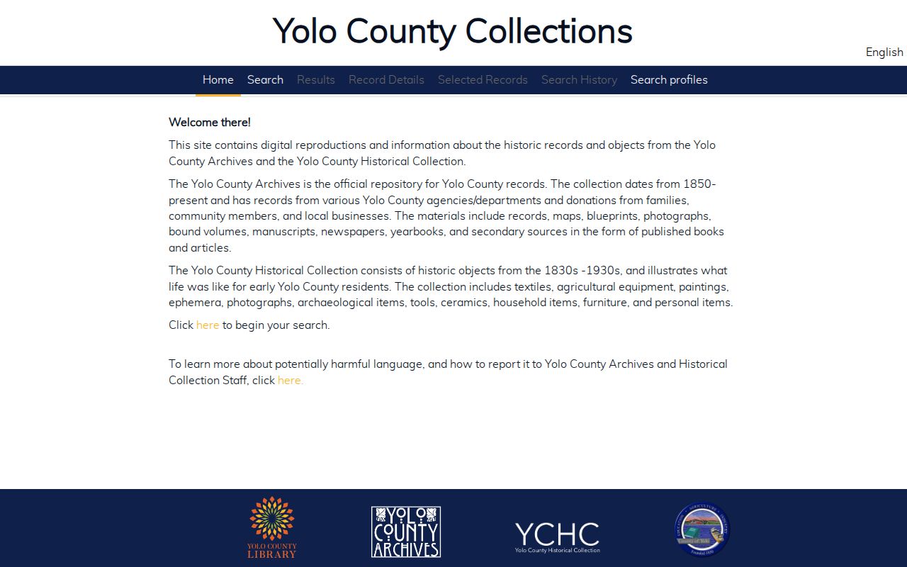
The catalog can point toward a collection, but the appointment or page image supplies the historical evidence.
Map Yolo Neighbor Districts and Flood Context
Yolo GIS layers can add zoning, land use, supervisorial, fire, school, and FEMA flood context to a block. These layers explain how a place is governed and shaped. They do not identify private household members. Parcel lines may not align exactly with FEMA, Census, or aerial layers, so preserve the source and revision date.
Use context layers to ask a better question: which jurisdiction keeps the permit, which district serves the parcel, or which historical map fits the structure? That is a more reliable neighbor workflow than guessing from a postal city or a commercial category.
Privacy Limits on a Yolo Neighbor Lookup
A Yolo neighbor lookup cannot reveal every person around an address. Non-owner household members, utility customers, delivery-account holders, DMV subjects, confidential voters, and Safe at Home participants are not made public by a parcel map. California’s voter affidavit address, phone, email, driver-license or ID, Social Security or unique identifier, and signature fields are protected except through qualified access. Public records access does not erase those limits.
California’s Safe at Home program supplies a substitute mailing address and confidential voter registration for eligible survivors and specified public officials or workers. The official applicant guidance is shown below. California’s data-broker deletion system is a separate consumer route for broker-held data, not a way to erase government deeds or rolls. The DROP portal screenshot keeps that distinction clear.
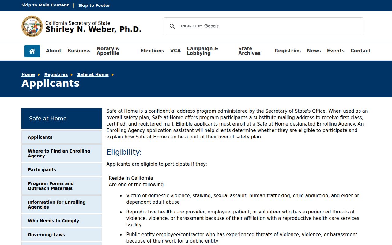
Safe at Home protects qualifying new or specified government records; it does not delete deeds already public.
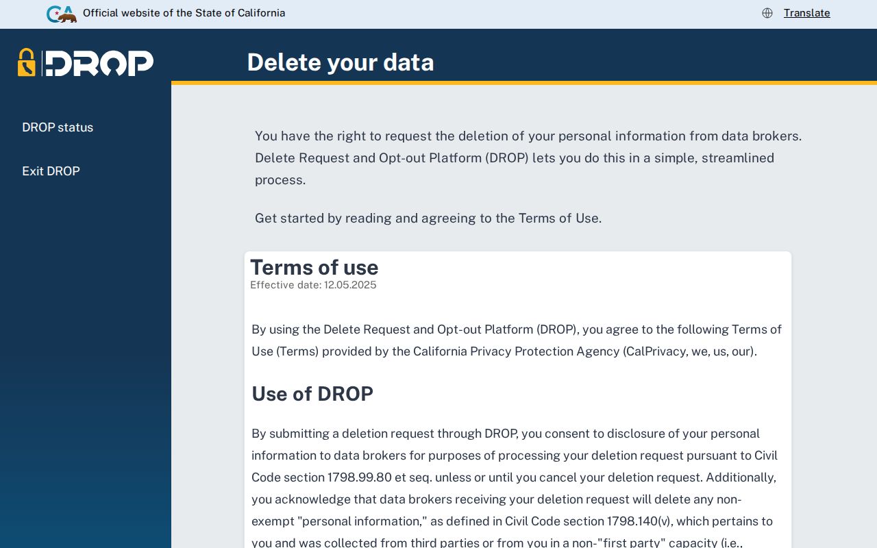
DROP targets broker-held data and does not replace a correction request to the government custodian.
When the question is an existing government record, the Secretary of State’s Public Records Act FAQ explains requester scope and timing. The Yolo County Sheriff public-records procedure is the local example for a report or record request, not a source for a private block roster.
| Official block trail | Compiled neighbor category | Safer use |
|---|---|---|
| GIS parcel, APN, jurisdiction, and permitted roll fields | May merge public and purchased data with unknown freshness | Verify the narrow fact with the custodian |
| Public civic boundaries and meeting contacts | May imply a household connection without a source | Use for community context, not private rosters |
| Archives item with title, year, and page | May flatten historical names and current claims | Keep the historical date and record role visible |
Lawful use. Yolo neighbor research is for getting to know a block, reconnecting, personal safety awareness, and civic understanding. Do not use it to watch, stalk, harass, intimidate, or harm anyone.
When the question expands from the immediate block to a whole named street, use the Yolo street directory page. The block method stays useful because it records what each parcel and civic source actually shows.