
Sources for Yolo Previous Residents
The previous residents of one Yolo address appear in different record families depending on the era and the question. The deed chain answers legal ownership. A city directory or census can show a household snapshot. A Sanborn map dates the structure and use. A permit supplies a project event. An obituary or probate file may explain where a former name went. The table keeps those roles apart.
| Source | Years it covers | Where held | What it shows |
|---|---|---|---|
| Recorder office and deed books | 1850-present | Yolo Clerk-Recorder | Legal ownership and instrument chain |
| Remote recorder index | 1970-present operationally; separate page says 1960 | Online search | Grantor, grantee, type, date, document key |
| Woodland directories | 1898-1999 across runs, gaps | Yolo County Archives | Printed names and addresses |
| Federal census | 1850-1950 publicly released | NARA and genealogy access | Household composition on enumeration day |
| Sanborn maps | Selected 1886-1921; local Woodland to 1961 | LOC and Archives | Building footprint and use context |
| Municipal permits | Current portals; start years unverified | City or county | Project dates, status, applicant where public |
Start with the current APN for a recent question. Use the recorder for a legal chain, Archives for older directories and maps, and census or newspapers for household context. Every source has a different gap, so a missing result should lead to the next channel rather than a conclusion about who lived there.
The Yolo official-record search view below shows the first doorway to the deed trail.
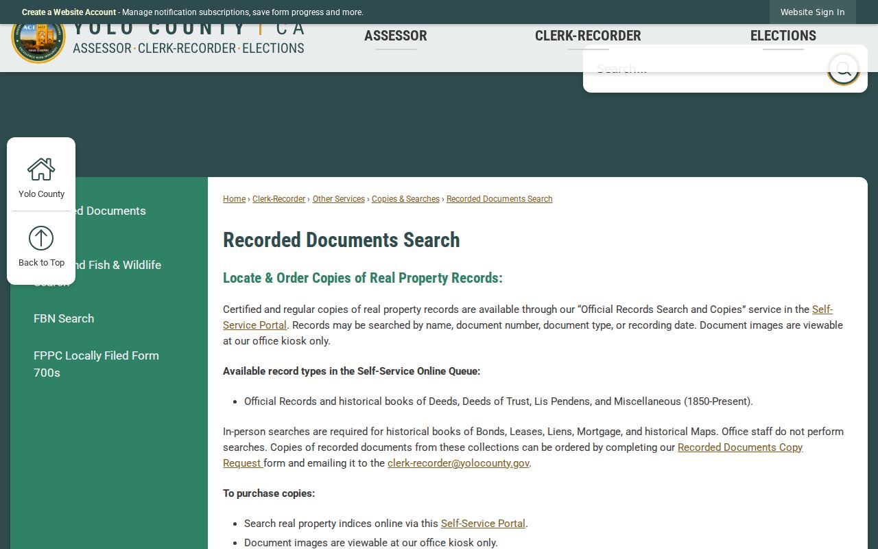
The online entry is a locator; the underlying instrument and the older office channels carry the legal detail.
Trace Yolo Previous Residents Through the Deed Chain
To trace past owners, begin with the current parcel and the permitted Assessor channel. The public tax site finds the street, APN, or assessment account but does not publish the owner name online. A free counter terminal holds the complete roll, and the Assessor’s limited phone service can answer current owner, mailing address, APN, latest recorded document, and assessment questions for no more than three parcels per call. Keep the legal description beside the street address.
- Record the current APN, situs, subdivision, lot or block, legal description, and latest recorded document.
- Find the current owner as grantee in the recorder index and obtain the acquisition deed or copy when needed.
- Take the seller or grantor from that instrument and search the person as an earlier grantee.
- Repeat the seller-to-buyer step, preserving document type, date, book/page, instrument number, and capacity.
- When the remote range ends, move to the counter, kiosk, microfilm, deed books, Archives, or State Archives.
- Grantor
- The party conveying or granting an interest in the recorded instrument.
- Grantee
- The party receiving the interest named in the instrument.
- Chain of title
- The linked sequence of recorded interests that traces a parcel from one holder to an earlier one.
- Legal description
- The recorded land identity that can remain stable when a street address changes.
The Yolo recorded-document guidance lists grantor or grantee, document number, document type, and recording date as search modes. It also distinguishes book and page references before September 4, 1970 from instrument or document numbers after that point.
The recording page below illustrates the office’s coverage and search route. For a copy request, use the official-record copy form and identify the document number or book and page before asking for an image.
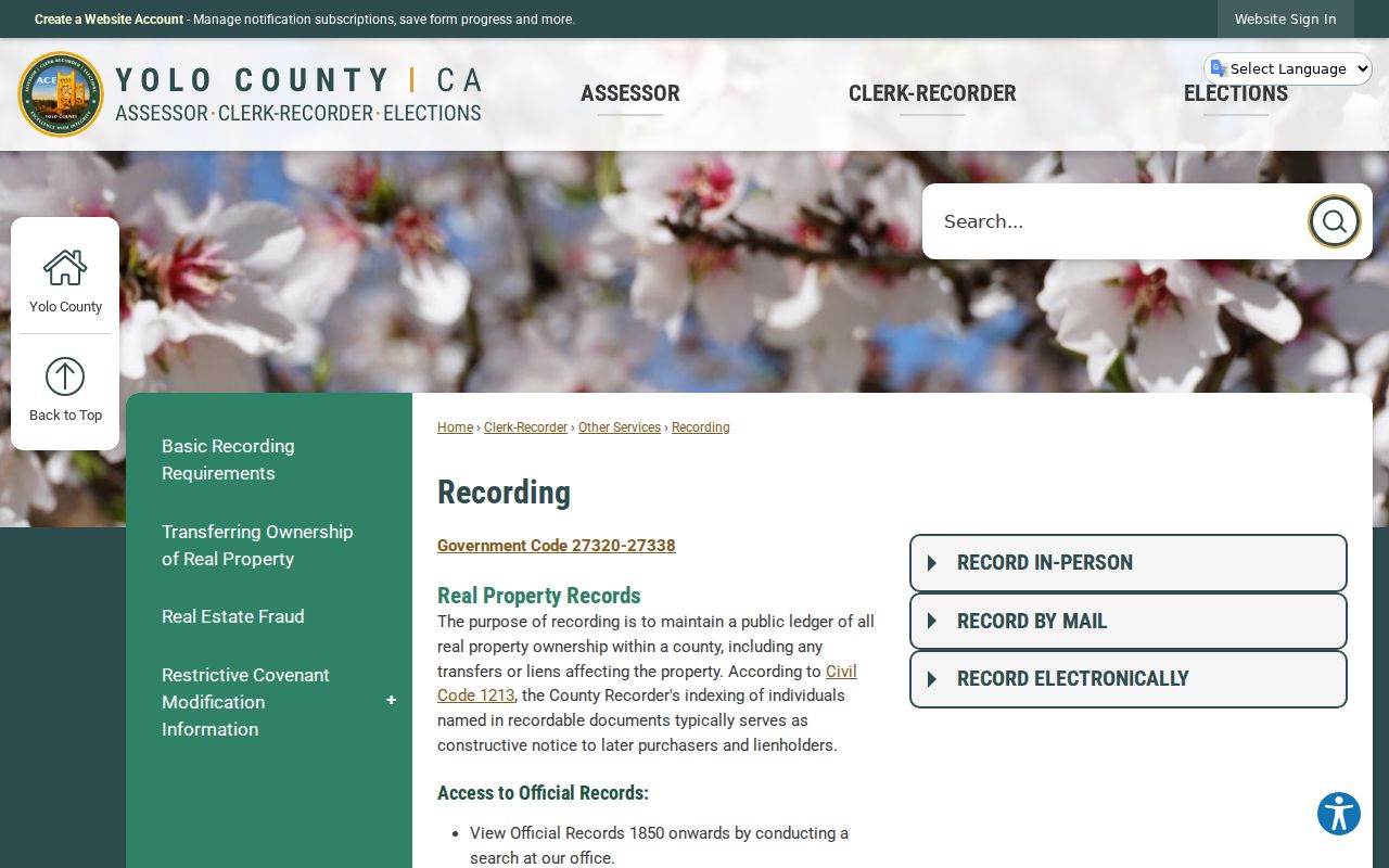
Use the index to locate the instrument, then read the instrument before calling a document a transfer.
Yolo Previous Residents and the September 1970 Divide
Yolo’s recorder coverage has an important practical wrinkle. The Recording page says grantor-grantee access from 1960, while the Online Services description uses 1970-present and the copy form uses September 4, 1970 as the book/page to instrument-number cutoff. Treat the newer remote range as the dependable online route unless staff resolves the discrepancy. For earlier previous residents, ask the office about books, microfilm, and counter access.
The captured official-record search screen belongs beside the newer chain. The older chain needs the same careful names, but it may require a different reference key and a visit.
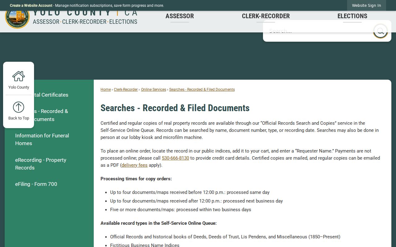
The discrepancy is a research fact, not a reason to choose the broader date without checking the custodian.
Woodland Directories Trace Yolo Previous Households
Woodland directories carry the household layer that the deed chain cannot. Miscellaneous volumes run from 1898 through 1975 with gaps, and Polk’s Woodland volumes run from 1939 through 1999 with gaps. Search a surname, preserve the exact address and status notation, and use a street or householder section only when the particular volume includes one. The Archives did not verify a legible Polk sample, so exact abbreviations should be read from the volume rather than guessed.
A directory entry can suggest that a person appeared at a place during the publisher’s year. It does not prove ownership, list every person, or establish a move date when the next volume is blank. Compare the entry with a census, newspaper, deed, obituary, or church register. The full collections and reading method are covered on the Yolo city directory page.
Pair Yolo Directories with Census Snapshots
Use a process rather than a single date: directory address → nearest census year → name and household comparison → deed or permit test → obituary or probate follow-up. The released federal decennial census reaches 1950 until the 1960 release in 2032. A directory can fill some years between census points, while the census records the household on an enumeration date. Differences may reflect moves between dates, omissions, name changes, or different record definitions.
- Choose the directory year closest to the address question and copy the page, title, and printed form.
- Pair it with the nearest released census and compare names, ages, relationships, and address or enumeration clues.
- Use the deed chain for legal ownership and Sanborn or permit records for structure and project dates.
- Search newspapers, obituary references, church registers, or probate when a person disappears or an heir clue appears.
Mark “not found” with the exact volume and years checked. A gap is evidence about coverage, not evidence that the former residents left on a known day.
Yolo Previous-Resident Address Clues in Sanborn Maps
Sanborn maps are a useful comparison against a changing street address. Free Library of Congress sheets cover selected Davis, Winters, and Woodland years, including Woodland 1886, 1889, 1895, 1906, and 1912. Local Woodland holdings extend from 1926 through 1961. A map can show footprint, use, and street context, but it does not supply a complete resident list.
Compare a Sanborn sheet with the directory entry and the legal description. If the footprint changes while the name stays, a permit or deed may explain the event. If the address changes while the lot and block remain, carry the land identity forward. The map is a date and structure clue in a previous-resident chain.
Yolo Previous Residents: Permits Add Change Dates
Permit records can mark construction, demolition, electrical or plumbing work, occupancy approval, or a contractor event. Woodland’s inquiry searches permit number, application date, address, and status. West Sacramento’s Citizen Access portal exposes Building, Business License, Code Enforcement, Engineering, Fire, and Planning modules. Davis and county Community Services use their own request paths. Permit archive start years are not verified, so state the range actually searched.
The applicant may be an architect, contractor, agent, or owner. West Sacramento approved plans and supporting material can require a CPRA request, and stamped plans may have copyright limits. A permit is evidence of work at a place and date, not a complete account of who lived there.
When a Yolo Previous-Resident Address Changes
A former address can vanish because a street label changed, a unit was added, a rural road was described by a legal parcel, or a directory omitted a year. The research did not verify a countywide street-renumbering year, so do not supply one. Carry APN, legal description, subdivision, lot and block, map year, postal community, and jurisdiction. Those fields are safer bridges than a guessed modern spelling.
The Yolo address-point service separates situs street, postal code, postal community, incorporated municipality, agency, and USPS verification. The parcel service adds lot, acreage, map year, revision date, land use, and jurisdiction. Use those schema fields to test an old address, then return to the recorder books, directories, and Sanborns.
Past Yolo Households in Records
Past residents are found by joining the legal and household layers with care. A deed names parties to a land instrument. A directory or census names people printed or counted at a time. An obituary or probate filing can close a trail after a death, while a church register or cemetery record can add family context. None of these sources alone is a full household roll.
Obituaries in the Yolo Archives collection can name relatives, former addresses, churches, and burial places. Probate petitions or orders can name heirs and addresses. Historical assessor maps and tax records can connect a person to a parcel, while newspapers can explain a move or community event. Follow the source-specific access route and preserve the date and page.
Lawful house history. Research into previous residents is for personal history, family history, and understanding a place. Do not use a past-resident trail to stalk, harass, track, or harm any living person.
When the address trail ends, say exactly where it ends: the remote index cutoff, a missing directory year, an unverified permit range, or a record protected by law. That honest boundary is part of a reliable Yolo previous-resident result.